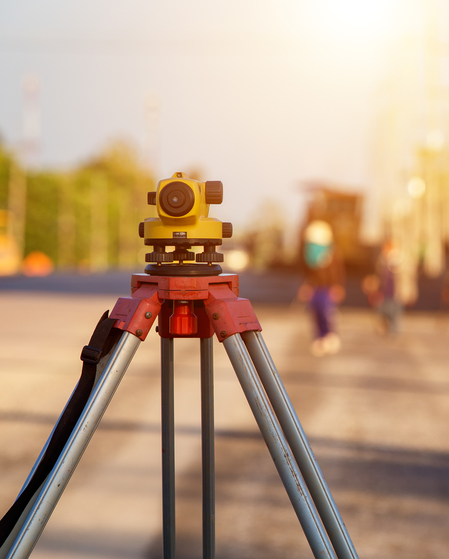
Scanning & Survey Services
- Licensed surveyor
- Cadastral survey
- Lidar scanning
- Point cloud to 3D design
- Data Management
- Drone survey
- GPR & VGIS
- Construction tolerance checking
- Boundary surveying
Our Industries
- State Government
- Utilities
- Mining Industry
- Local Government
- Commercial and Industrial
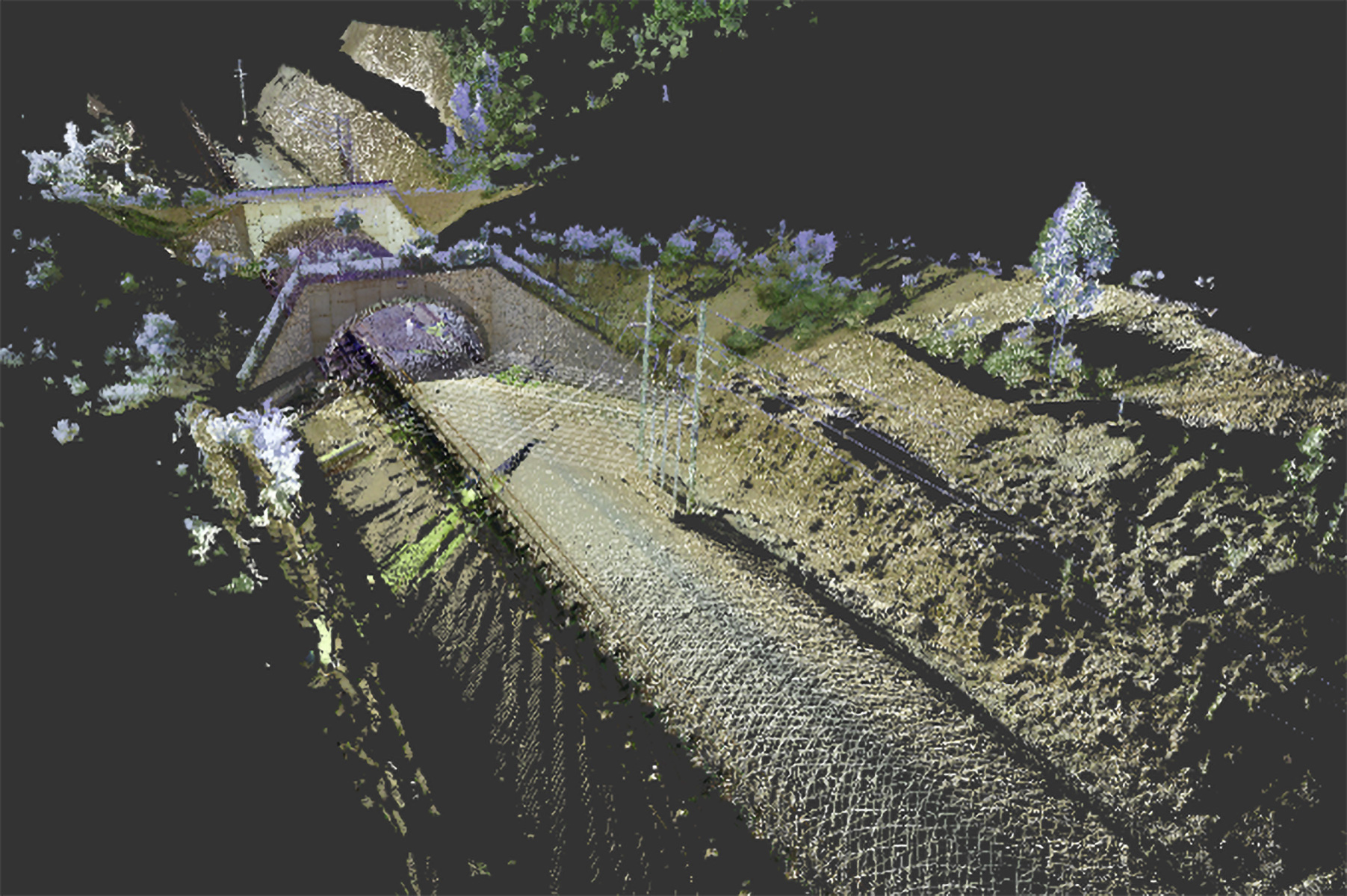
South32 Structural Integrity Scanning Project
RASP Australia provided scanning services for multiple 150m tunnels, creating point cloud data and an in-depth report any movement present in the tunnel.
- Historical Data: comparing historical data to accurately represent any movements over the 6-month interval period.
- Accurate data: Scans provide accuracy within 1.9mm accuracy.
- Point cloud data: Point cloud data allowing accurate measurements and detailing
- CAD Development: Point cloud data developed into comprehensive 3D models.
Explore our services and discover how RASP Australia can meet your Architecture and modelling needs with excellence and precision.